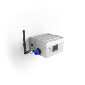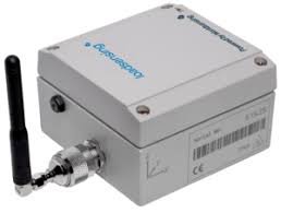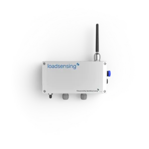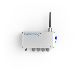
The GNSS Meter is a high-precision instrument designed for geospatial positioning and monitoring in civil engineering, geotechnical, and infrastructure projects. It provides accurate, real-time location data, supporting precise mapping, deformation monitoring, and site surveys.
This device receives signals from global navigation satellite systems (GNSS) and converts them into reliable positional information. Its robust design ensures consistent performance in challenging environmental conditions, including vibration, moisture, and temperature fluctuations.
Engineers and surveyors use the GNSS Meter to monitor movement, assess structural stability, and support project planning. Integration with data logging and visualization systems enables real-time analysis, efficient reporting, and informed decision-making for both short-term and long-term projects.
Key Features:
-
High-accuracy GNSS positioning
-
Real-time data acquisition and monitoring
-
Robust construction for field deployment
-
Resistant to vibration, moisture, and temperature variations
-
Compatible with data logging and geospatial analysis platforms
-
Reliable long-term performance with minimal maintenance
Advantages:
-
Precise geospatial monitoring for infrastructure and geotechnical projects
-
Real-time data supports timely decision-making
-
Enables automated data collection and efficient site management
-
Suitable for tunnels, slopes, dams, bridges, and urban development projects
-
Durable and low-maintenance design ensures long-term reliability
-
Enhances safety, planning, and operational efficiency
The GNSS Meter provides engineers and surveyors with a reliable, precise, and durable solution for geospatial positioning and monitoring, ensuring accurate real-time assessment and long-term project success.