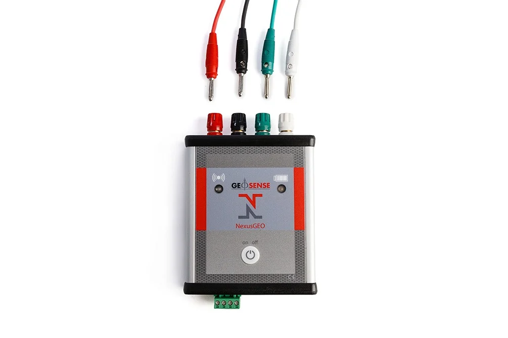
Imagine having all your geotechnical monitoring data — from tilt, displacement, load, pressure, vibration, and more — living in one smart workspace. That’s NexusGeo. It’s a next‑level monitoring platform that ingests real‑time sensor streams, visualizes trends, sends alerts, and makes your decision‑making way more confident.
Built for engineers, project leads, and field teams who want clarity without chaos, NexusGeo takes complex instrument outputs and turns them into actionable insights. Whether you’re tracking tunnel linings, slope behavior, dam performance, or multi‑sensor networks across a job site, NexusGeo reduces noise and surfaces what matters.
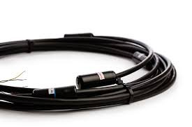
Plug it into your dataloggers, watch dashboards update in real time, and let automated alerts keep you ahead of risk — all while the system stores historical records for easy analysis and reporting. From day one to long‑term operations, NexusGeo keeps your monitoring modern, accessible, and meaningful.
Key Features
-
Real‑time data streaming & visualization — watch sensor outputs update live
-
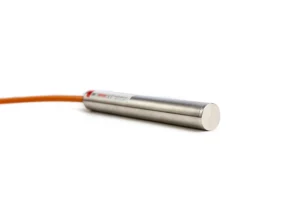
Multi‑sensor support — tilt, strain, load, pressure, displacement, and more
-
Interactive dashboards & charts — clear trends at a glance
-
Automated alerts & thresholds — instant notifications when things shift
-
Historical data archive — build reports and compare performance over time
-
Seamless integration — works with dataloggers and monitoring networks
-
Secure & scalable cloud‑ready — grow without headaches
Advantages
-
One hub for all geotech data — no more scattered spreadsheets
-
Faster insight, smarter action — alerts bring your attention to risk early
-
Visual trends = better project communication — teams actually get it
-
Supports safety & compliance — tracking you can prove
-
Optimized for long‑term projects — from startup to operations phase
-
Cut manual workload — automation that lightens your daily grind