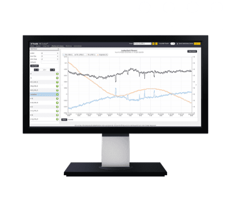
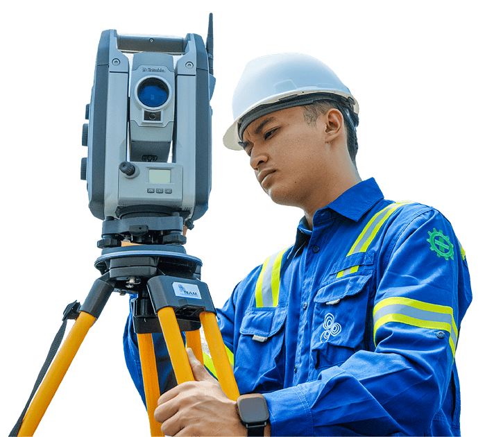
As the backbone of the Global Maritime Fulcrum, Indonesia’s ports face immense pressure from heavy cargo loads, high-frequency vessel docking, and constant saltwater corrosion. Teized monitoring is essential to prevent quay wall deformations and berthing accidents that could paralyze national supply chains and cause catastrophic economic losses.
Port Monitoring
Overview
High-Precision Structural Integrity & Marine Analytics
Product Used
Our World-Class Instrumentation Stack
The GNSS Meter is a high-precision instrument designed for geospatial positioning and monitoring in civil engineering, geotechnical, and infrastructure projects.
01
Precise geospatial monitoring for infrastructure and geotechnical projects
02
Real-time data supports timely decision-making
03
Enables automated data collection and efficient site management
04
Suitable for tunnels, slopes, dams, bridges, and urban development projects
Elevate your monitoring with Trimble® 4D Control (T4D) software. Deploy this automated movement detection solution to make better-informed decisions.
01
Scalable conditional alarming
Movement or system outages
02
Comprehensive analysis
Customizable data visualization
03
Processing engines
Real-time and post-processed
04
Network adjustment
Combined and integrated
Our Solutions
