As the world’s largest archipelagic nation, Indonesia’s coastal assets face constant threats from rising sea levels, high-salinity corrosion, and extreme tidal surges that jeopardize industrial ports and offshore platforms. TeAM’s monitoring provides the critical real-time data needed to mitigate coastal erosion and structural deformation before they compromise strategic maritime operations.
Coastal Monitoring
Overview
Integrated Oceanographic & Shoreline Intelligence
Product Used
Our World-Class Instrumentation Stack
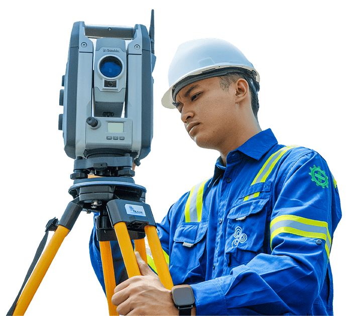
The GNSS Meter is a high-precision instrument designed for geospatial positioning and monitoring in civil engineering, geotechnical, and infrastructure projects.
01
Precise geospatial monitoring for infrastructure and geotechnical projects
02
Real-time data supports timely decision-making
03
Enables automated data collection and efficient site management
04
Suitable for tunnels, slopes, dams, bridges, and urban development projects
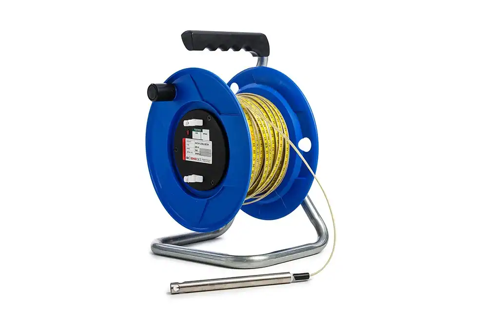
The Geosense® Water Level Meter is a portable, high-accuracy instrument designed for reliable groundwater level measurement in standpipes, boreholes, and monitoring wells.
01
Reliable in harsh environments thanks to rugged materials and weather-resistant construction
02
Simple to use, making field measurements more efficient and reducing operator error
03
Low maintenance, with quick replacement parts that minimize downtime
04
Highly portable, supporting fast deployment across multiple boreholes
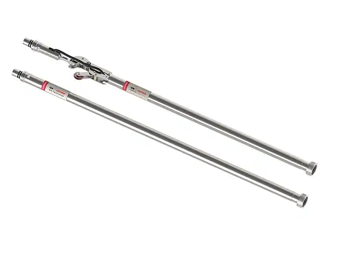
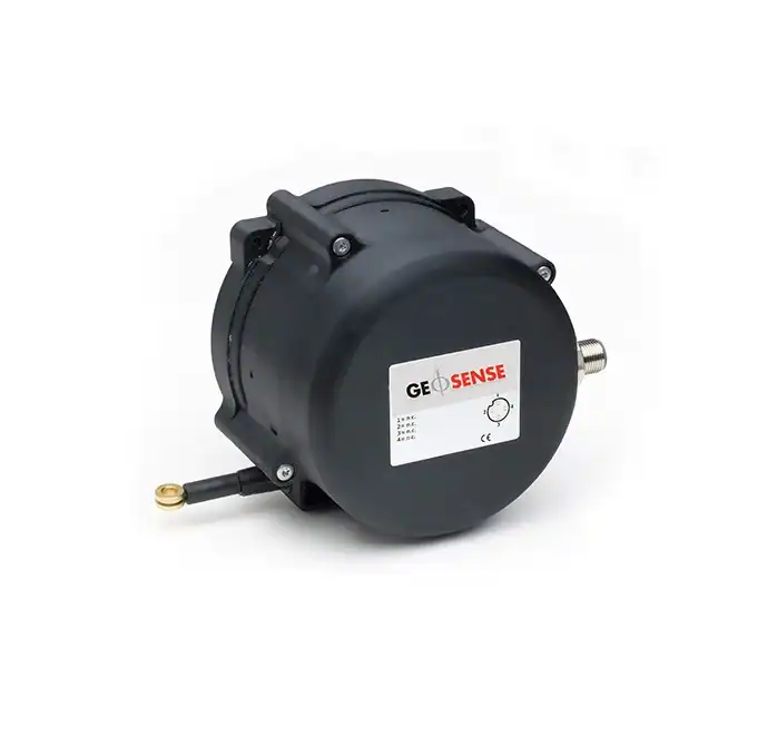
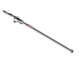
The GEO-XW100 Rotary Wire Extensometer from Geosense is built to measure horizontal or vertical displacement with reliable accuracy.
01
Reliable in tough conditions thanks to its durable construction
02
Suitable for both manual and automated monitoring
03
Covers long displacement ranges with consistent accuracy
04
Fast installation, even in confined spaces
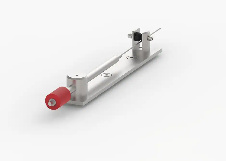
The In-Place Inclinometer (IPI) is a high-precision instrument designed to monitor lateral ground or structural movement continuously and in real time.
01
Continuous monitoring eliminates the need for manual inclinometer surveys.
02
Minimized site visits, reducing operational cost and safety exposure.
03
Fast detection of movement trends for early-warning systems.
04
High reliability even in landslide-prone or extreme weather environments.
A Standpipe Piezometer is one of the most straightforward and dependable instruments for monitoring groundwater levels in soil and rock.
01
Highly cost-effective compared to electronic piezometers
02
Long operational lifespan with minimal maintenance
03
Stable, repeatable measurements over time
04
Ideal for remote or challenging environments
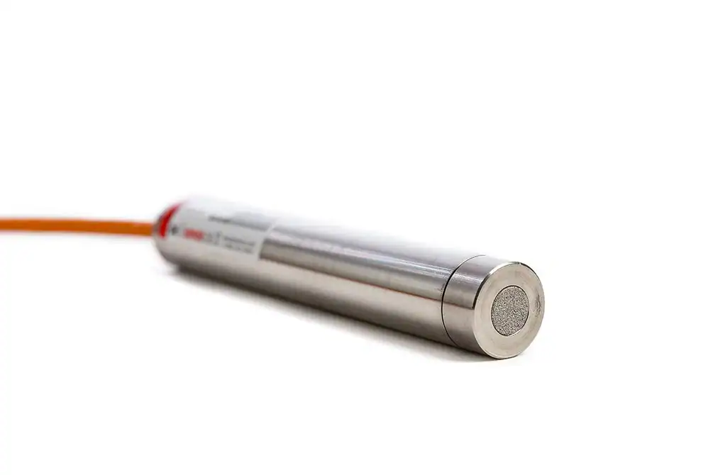
The SGP-3400 Series Strain Gauge Piezometer is engineered to deliver stable, long-term pore water pressure measurements in geotechnical, environmental, and hydrological applications.
01
Highly stable readings
Ideal for long-term geotechnical monitoring
02
Accurate performance
Even in challenging or variable soil conditions
03
Low maintenance
With durable construction and minimal calibration needs
04
Versatile use
Across dams, tunnels, mining, foundations, and groundwater studies
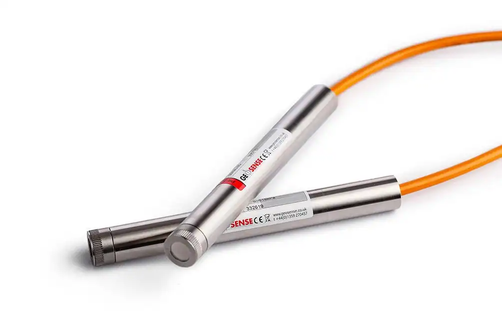
The VWP-3000 Series Vibrating Wire Piezometer is engineered for long-term, high-accuracy measurement of pore water pressure in geotechnical, civil, and mining applications.
01
Reliable long-term performance with minimal calibration drift.
02
Highly stable and accurate even under variable temperature and loading conditions.
03
Supports predictive analysis for seepage control, slope stability, dam safety, and mining operations.
04
Easy integration with existing monitoring networks and automated acquisition platforms.
Our Solutions