Indonesia’s rapid infrastructure development often encounters complex soil profiles, ranging from deep alluvial soft clays in coastal cities like Jakarta and Semarang to seismic-prone regions across the archipelago. Uncontrolled ground settlement poses a severe risk to the structural integrity of high-rise buildings, toll roads, and industrial facilities. Without precise monitoring, subtle soil shifts can escalate into catastrophic structural failures, costly legal disputes, and operational shutdowns. Monitoring is not just a safety measure—it is a critical necessity for navigating Indonesia’s challenging terrain.
Settlement Monitoring
Overview
Advanced Geotechnical Stability & Displacement Sensing
Product Used
Our World-Class Instrumentation Stack
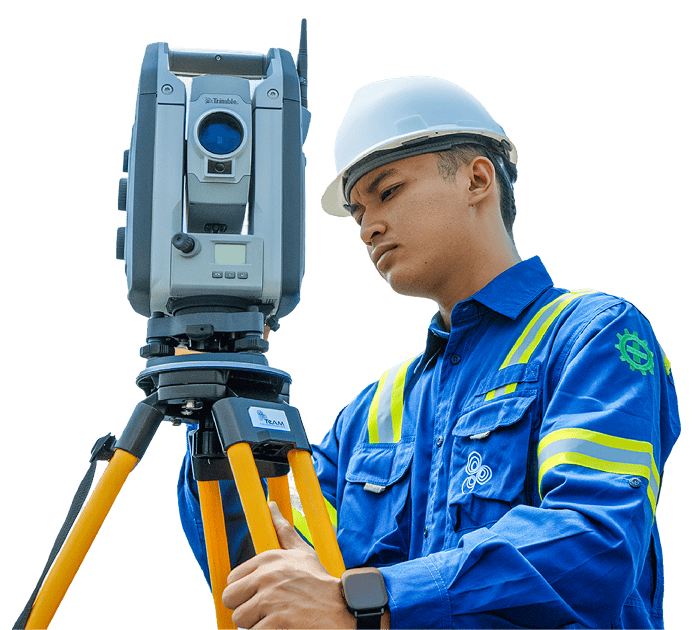
The GNSS Meter is a high-precision instrument designed for geospatial positioning and monitoring in civil engineering, geotechnical, and infrastructure projects.
01
Precise geospatial monitoring for infrastructure and geotechnical projects
02
Real-time data supports timely decision-making
03
Enables automated data collection and efficient site management
04
Suitable for tunnels, slopes, dams, bridges, and urban development projects
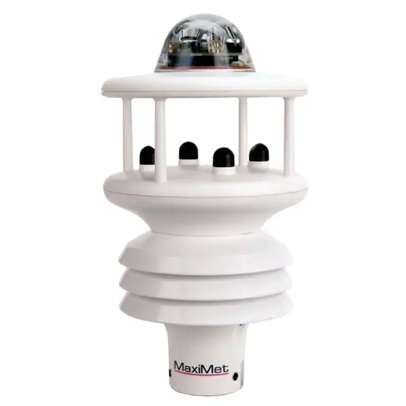
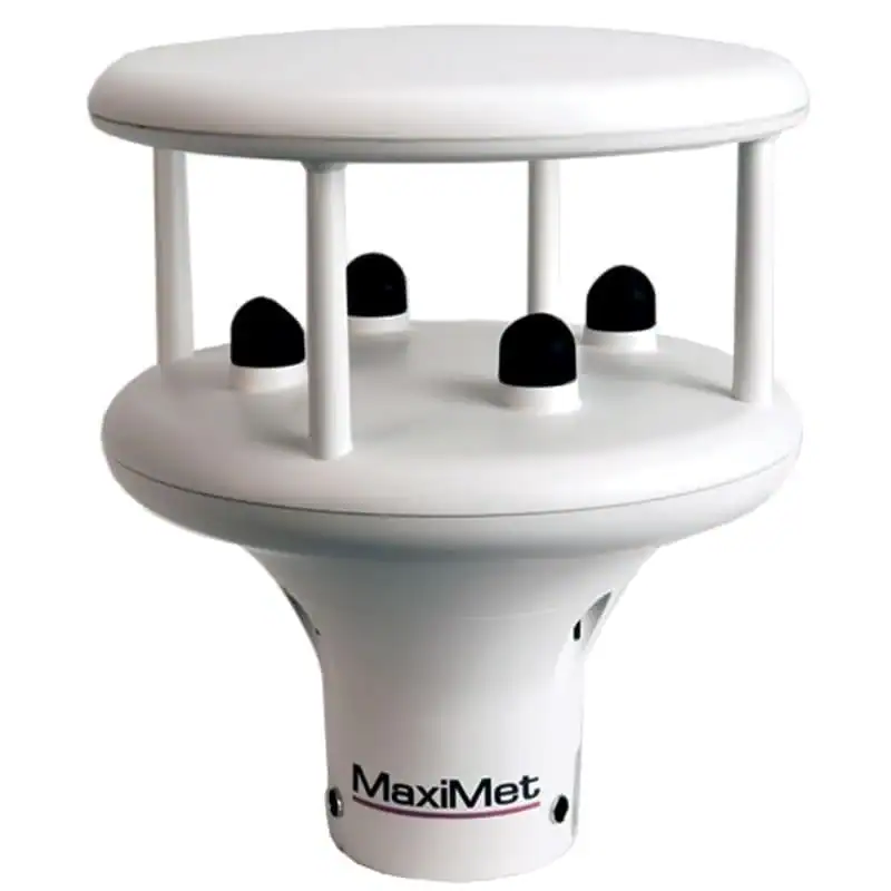
MaxiMet GMX-600 adalah sensor cuaca profesional yang dirancang untuk menghadirkan pemantauan kondisi atmosfer secara lengkap, akurat, dan konsisten.
01
Akurasi Tinggi
Semua parameter cuaca diukur menggunakan sensor yang telah terkalibrasi dengan standar internasional.
02
Instalasi Sederhana
Karena semua sensor berada dalam satu unit, pemasangan menjadi lebih cepat dan efisien.
03
Bebas Perawatan
Teknologi ultrasonic tanpa bagian bergerak mengurangi risiko kerusakan mekanis.
04
Integrasi Mudah
Mendukung berbagai protokol sehingga dapat terhubung dengan platform monitoring apa pun.
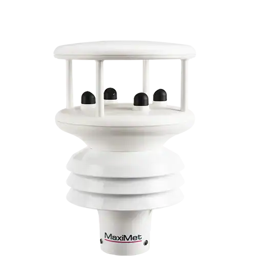
MaxiMet GMX500 merupakan compact weather station berperforma tinggi yang dirancang untuk menyediakan pengukuran cuaca yang lengkap, akurat, dan konsisten.
01
All-in-One Compact System
Semua parameter cuaca utama tersedia dalam satu perangkat yang ringkas dan tahan cuaca.
02
Akurasi Tinggi & Stabil
Menggunakan teknologi sensor terbaru dari Gill Instruments untuk performa yang konsisten.
03
Tanpa Bagian Bergerak
Minim risiko kerusakan mekanis dan lebih tahan terhadap kondisi ekstrem.
04
Integrasi Mudah
Mendukung berbagai protokol komunikasi untuk integrasi dengan platform monitoring real-time.
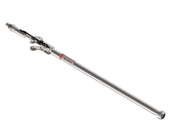
The In-Place Inclinometer (IPI) is a high-precision instrument designed to monitor lateral ground or structural movement continuously and in real time.
01
Continuous monitoring eliminates the need for manual inclinometer surveys.
02
Minimized site visits, reducing operational cost and safety exposure.
03
Fast detection of movement trends for early-warning systems.
04
High reliability even in landslide-prone or extreme weather environments.
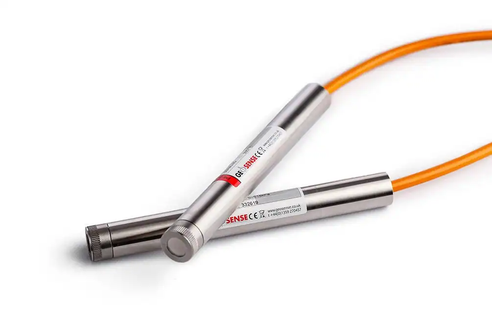
The VWP-3000 Series Vibrating Wire Piezometer is engineered for long-term, high-accuracy measurement of pore water pressure in geotechnical, civil, and mining applications.
01
Reliable long-term performance with minimal calibration drift.
02
Highly stable and accurate even under variable temperature and loading conditions.
03
Supports predictive analysis for seepage control, slope stability, dam safety, and mining operations.
04
Easy integration with existing monitoring networks and automated acquisition platforms.
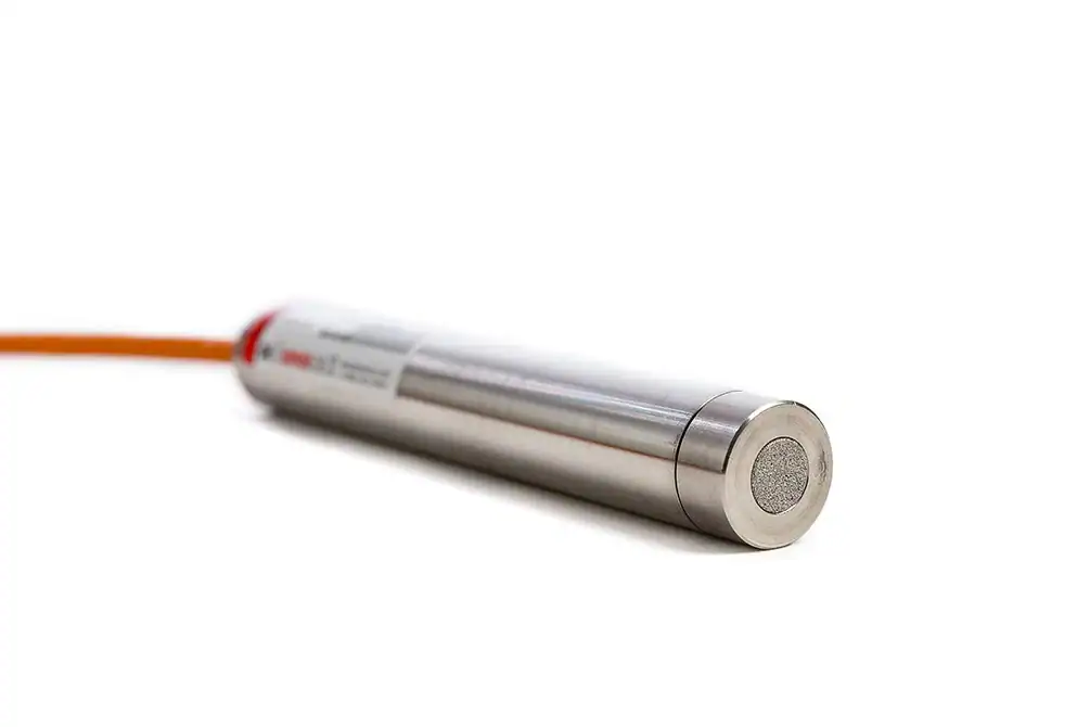
The SGP-3400 Series Strain Gauge Piezometer is engineered to deliver stable, long-term pore water pressure measurements in geotechnical, environmental, and hydrological applications.
01
Highly stable readings
Ideal for long-term geotechnical monitoring
02
Accurate performance
Even in challenging or variable soil conditions
03
Low maintenance
With durable construction and minimal calibration needs
04
Versatile use
Across dams, tunnels, mining, foundations, and groundwater studies
A Standpipe Piezometer is one of the most straightforward and dependable instruments for monitoring groundwater levels in soil and rock.
01
Highly cost-effective compared to electronic piezometers
02
Long operational lifespan with minimal maintenance
03
Stable, repeatable measurements over time
04
Ideal for remote or challenging environments
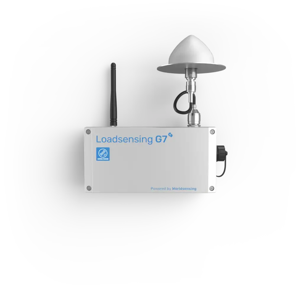
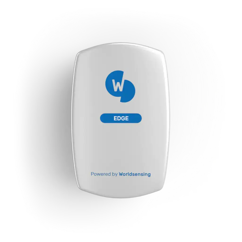
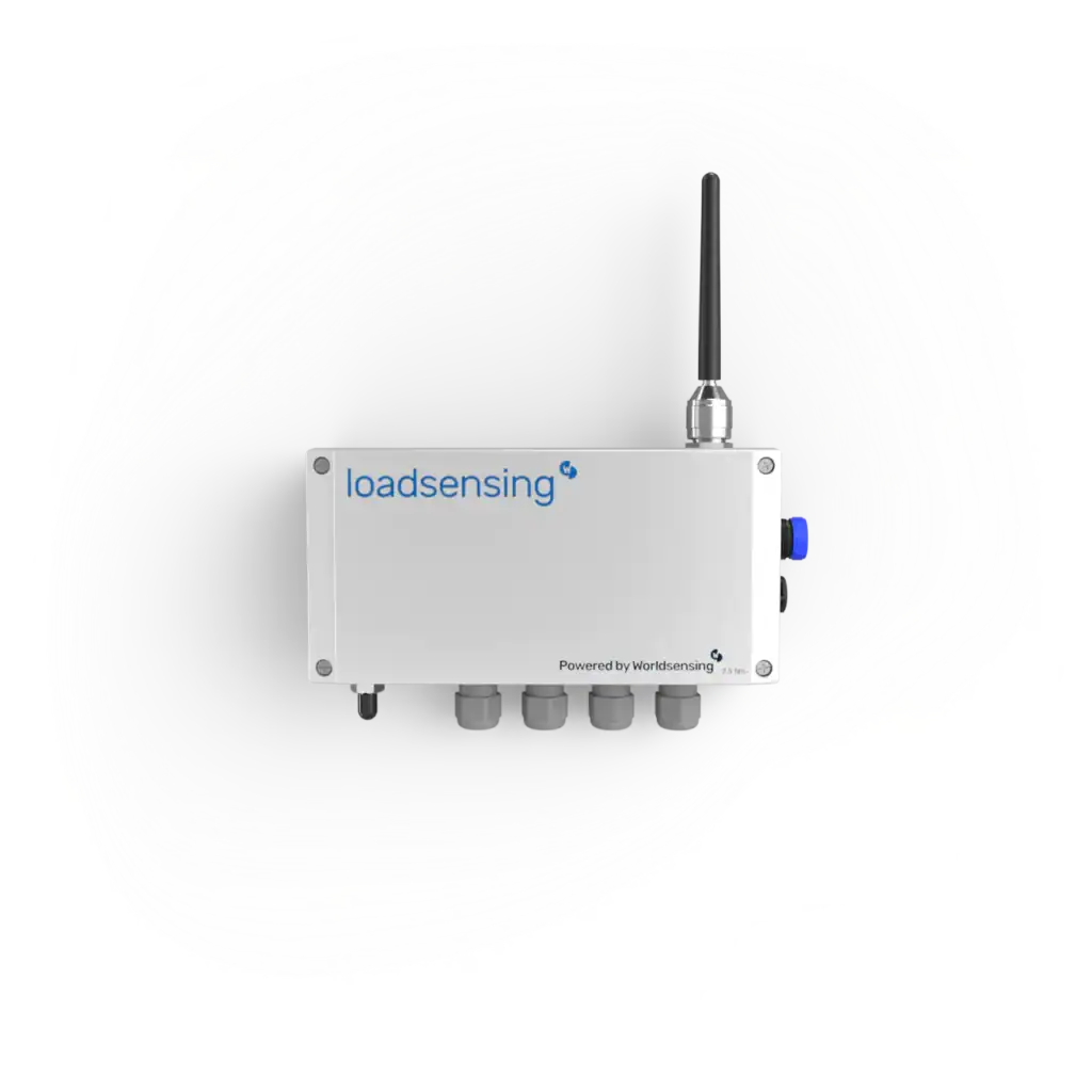
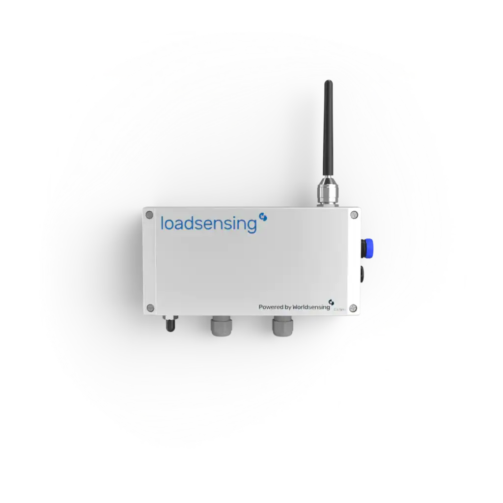
The 4G Rugged Gateway from Worldsensing is a robust communication device designed for real-time remote monitoring in challenging industrial, civil, and geotechnical environments.
01
Continuous remote monitoring in harsh and remote sites
02
High-speed, reliable data transmission for real-time insights
03
Easy integration with existing geotechnical or industrial monitoring systems
04
Enhances operational efficiency and decision-making
The Analog Data Logger 4 Channel is a high-precision instrument designed for simultaneous collection of data from up to four analog sensors.
01
Efficient multi-sensor monitoring for complex projects
02
Accurate and repeatable measurements for confident engineering assessment
03
Enables real-time monitoring and early detection of structural changes
04
Reduces manual inspection efforts through automated data collection
01
Accurate and repeatable measurements for confident engineering decisions
02
Real-time monitoring of multiple parameters reduces risk of structural issues
03
Supports automated data collection, minimizing manual inspection needs
04
Ideal for tunnels, slopes, dams, bridges, and other civil engineering projects
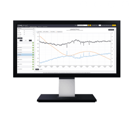
Elevate your monitoring with Trimble® 4D Control (T4D) software. Deploy this automated movement detection solution to make better-informed decisions.
01
Scalable conditional alarming
Movement or system outages
02
Comprehensive analysis
Customizable data visualization
03
Processing engines
Real-time and post-processed
04
Network adjustment
Combined and integrated
Our Solutions